This the last article in choosing a school for your child series.
- School’s size, the number and composition of the students enrolled
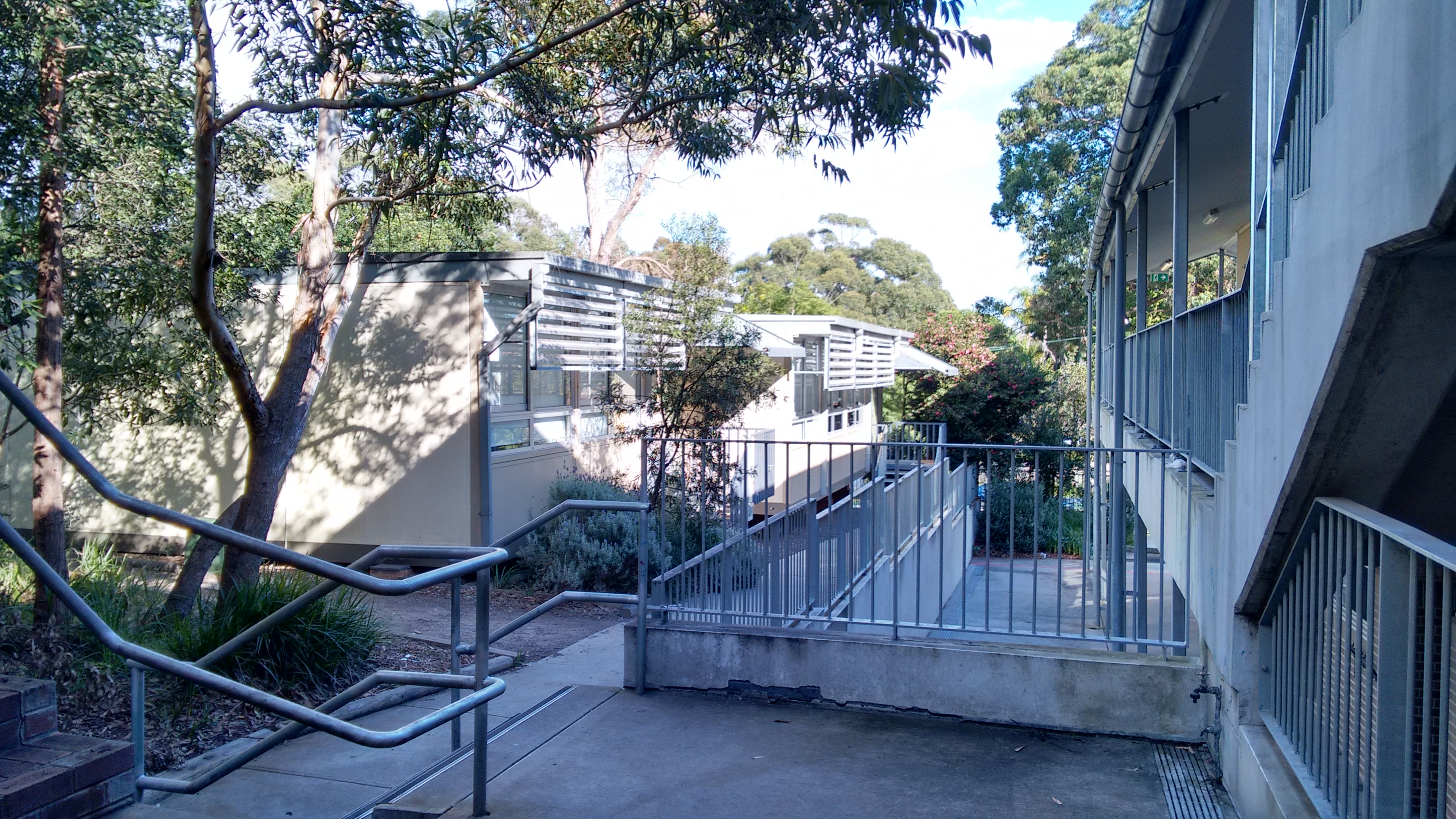
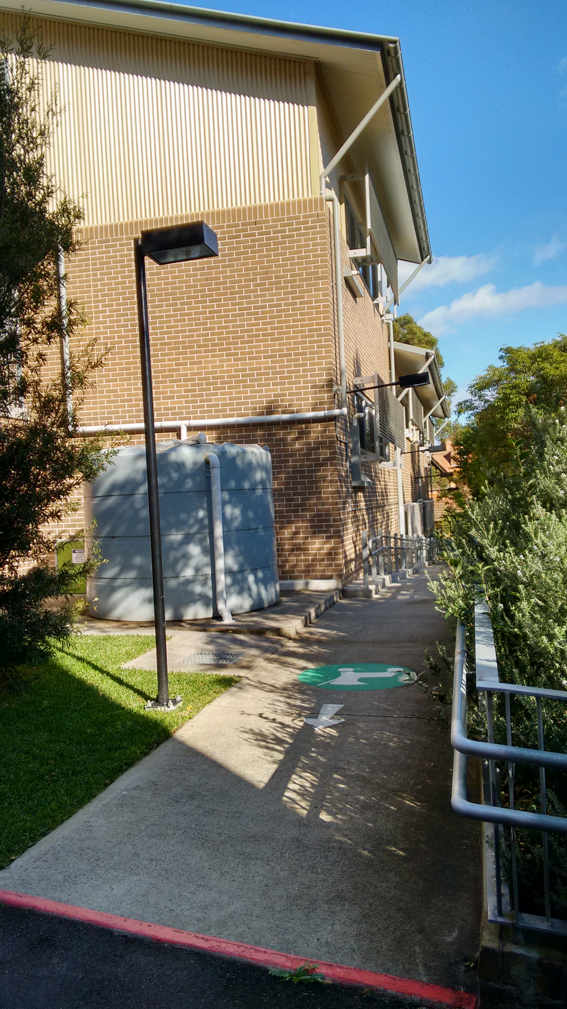
Class size wise public schools that I know off all have it well managed. The main issue with this is that Sydney and in some areas like north shore, northern beaches etc, a lot of schools experienced increase in enrollment of 40 percent or more in less than ten years time. What this means is that a lot of schools in the old more established suburbs all became very crowded and forced to settle with a lot of demountables. The 2008 GFC actually provided a much needed capital construction for the public schools in Sydney. Going to the public schools in north shore area, just about the only new buildings they had in I do not know how many years are all constructed during that period.
The issue with the composition in the public school it is a lot more tricky. Some school’s catchment contain large amount of public housing which can have a direct impact. If you intend to send your children to the local public school, it certainly pays to do research first on the local intake area so you do not get yourself into a situation you do not want to be in.
- How well the particular school is managed
Generally in personal experience the public schools in Sydney are well managed. However to find out more details, you will need to do the research yourself online and if possible get into contact with parents who have children going to the school. This will differ from school to school and even principle to principle.
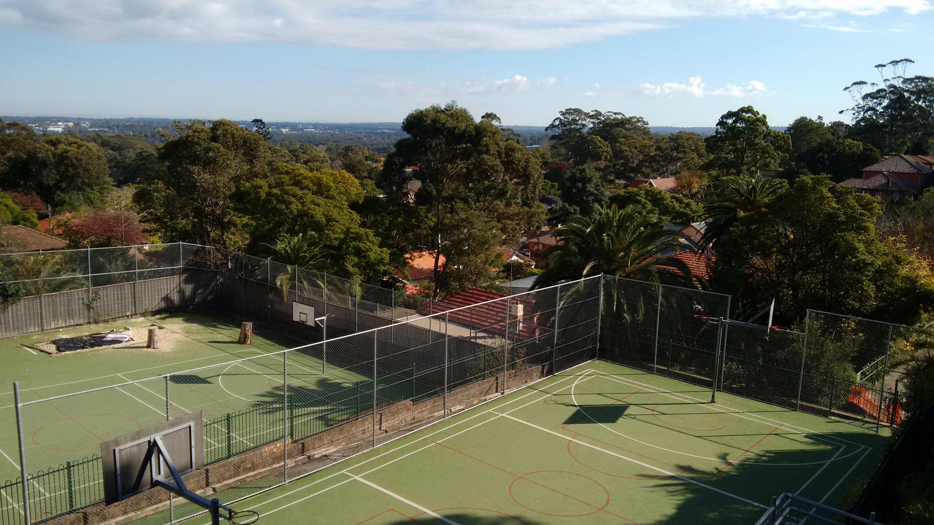
- The non academic programs in the school such as sport, music, arts etc.
This is the part where private schools have an edge over the public ones. That being said in the more affluent areas just about every children going to the public school all had private non academic programs happening outside of school hours.
- Will your child have friend in the school they are going to and do you think they will fit in
Public school wise, I think there is no great difference between the different ones in the state. If your child had been going to the local childcare or preschool previously, then it is very likely he or she will have people they know going to the same school.
- The availability of the after school care
This is actually more important than many people think. In the modern age, a lot of families got two working parents, without after school care it is almost impossible to manage the pick up and drop off. Depending on the area, some may have very tight competition on the spots for the after school care. You may even need to book as soon as possible even before they actually started in the school to secure a position.
Not all after school cares are made to be equal as well, some are well organized and have good programs, food etc. So definitely pays to do research on this.
- Family involvement with the school life
My child goes to one of the public school in the north shore area and people I know had children going to the public school school in the north shore generally had very positive experience in this aspect.
There are a lot of opportunities for volunteer work and very good family involvement in the schools as well. Again this is very much a case by case situation, so if this is something important for you, then it pays to do the research ahead.