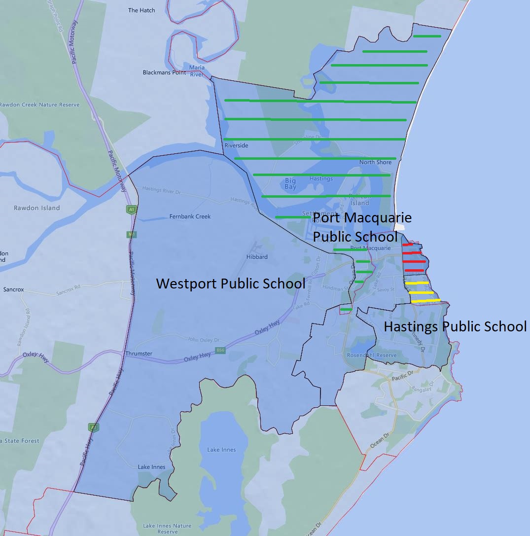
Today, I will go over the Hasting Port Macquarie and Westport Public School catchment update for 2024.
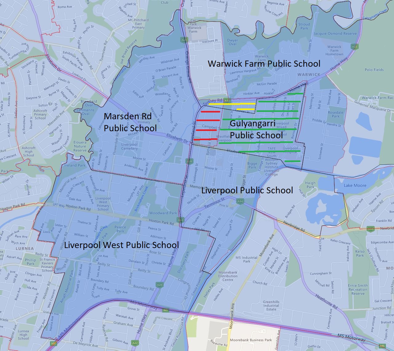
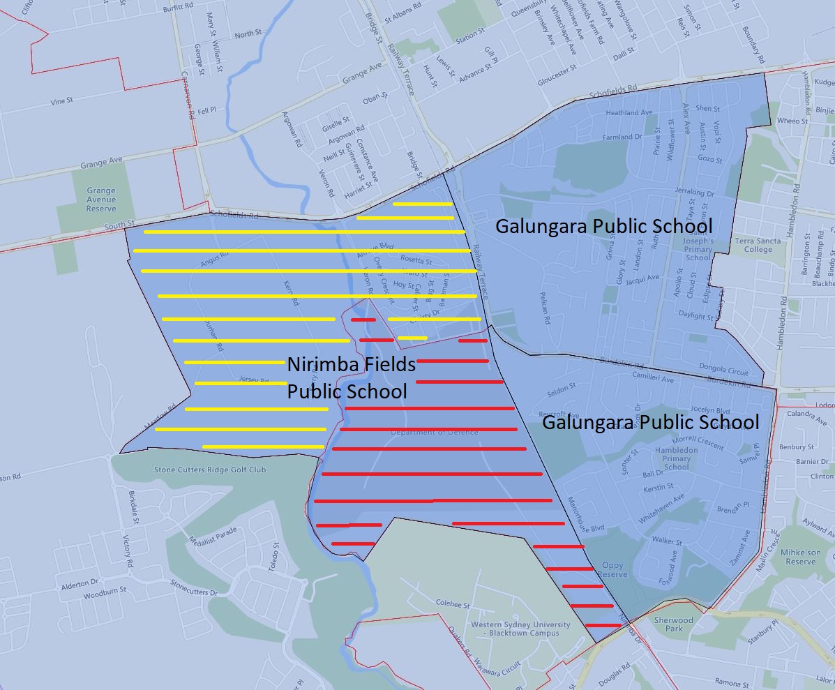
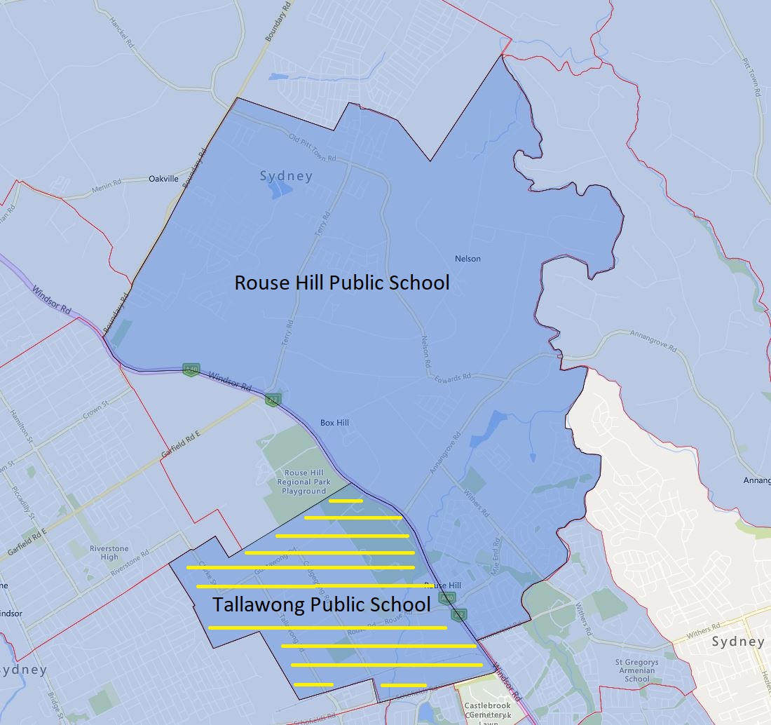
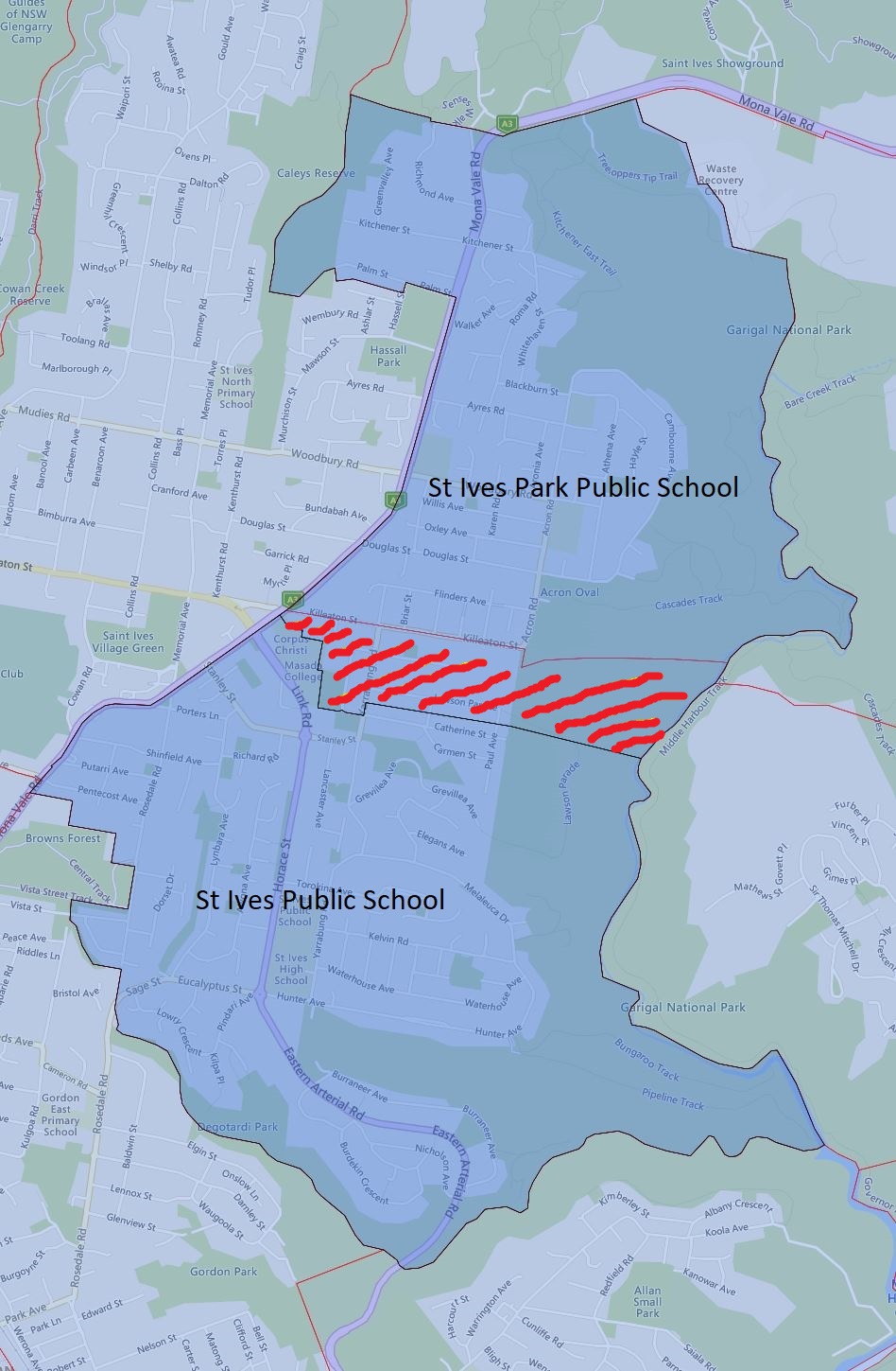
The green-striped area is what will be transferred from Westport Public School to Port Macquarie Public School in 2024
The yellow-striped area will be transferred from Port Macquarie Public School to Hastings Public School in 2024.
The red-striped area will become a shared catchment zone between Port Macquarie and Hasting Public School in 2024.
The black border is the 2024 catchment boundary and the red is the 2023 boundary.
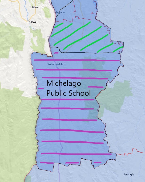
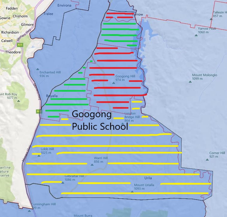
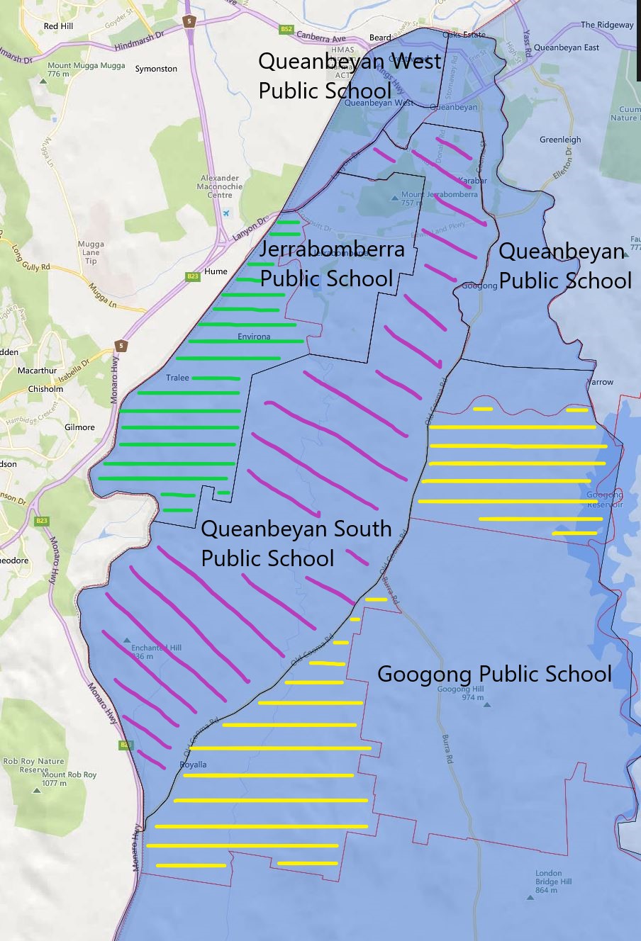
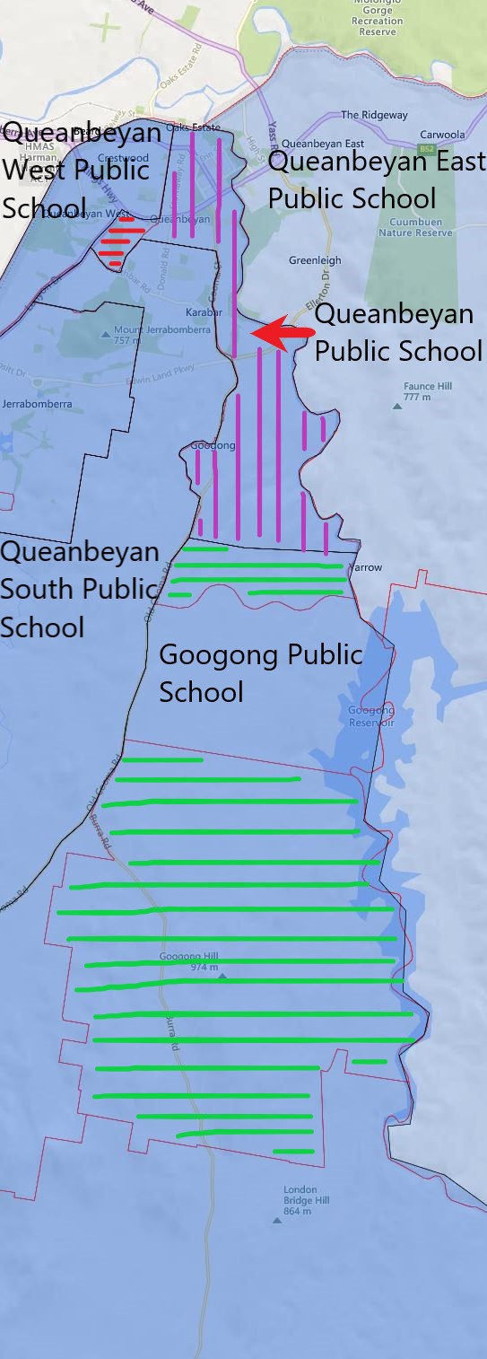
The most common name used by the NSW Department of Education is “catchment” which refers to those students who reside in a particular area and are guaranteed a position in specific schools. When discussed from the perspective of a particular school is often referred to as one of the following terms.
- School Zone
- School intake area
- School catchment
As usual contact the school in question or the Department of Education for the final confirmation and you can also access the full NSW and Sydney Primary School Catchment Map by following this link.
Share this post:
 Email This Post