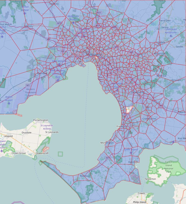
I found some major issue on how I generate the school zone map previously, since this lays at foundations of what I do. So I spend considerable time learning and figuring out what I did why and how I can fix them. I believe the school zone map is very good shape now. I will have to go back update the specific school’s page as well. I also missed a few school as well in the first round and caused the map of other schools to be inaccurate as well. I will added them in this round of update.
The proper name used by Victorian Department of Education is called “Designated Neighbourhood School” which is what a particular address is zoned for particular school. When discussed from prospective of a particular school is often referred as one of the following term.
- Designated neighbourhood zone
- Designated neighbourhood boundary
- Neighbourhood zone
- School Zone
- School intake area
- School catchment
For the final confirmation please contact the school in question. You can also find the full Melbourne, Victoria public school zone map by clicking on the link.
Share this post: