James Cook Technology Boys and Moorefield Girls High School Catchment Map

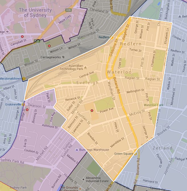
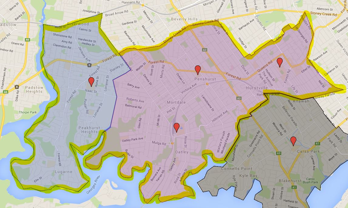
This is the school catchment map for James Cook Technology Boys and Moorefield Girls High School in Sydney, NSW.

The most common name used by NSW Department of Education is called “catchment” which refer to that students resides in particular area are guaranteed position in specific schools. When discussed from prospective of a particular school is often referred as one of the following term.

  • School Zone
  • School intake area
  • School catchment

As usual contact the school in question or Department of Education for the final confirmation and you can also access the full High School Catchment Map by following this link.

Share this post:

Alfords Point Public School

This page contains the information and the catchment map for Alfords Point Public School in Sydney, NSW. You can search for a particular school or address in the search box in the top right-hand corner of the embedded map or zoom into an area of interest on the map.

The most common name used by NSW Department of Education is called “catchment” which refer to that students resides in a particular area is guaranteed a position in specific schools. When discussed from the perspective of a particular school is often referred to as one of the following terms.

  • School Zone
  • School intake area
  • School catchment

As usual contact the school in question or Department of Education for the final confirmation and you can also access the full NSW and Sydney Public School Catchment Map by following this link.

Share this post:

Email This Post Email This Post

Alexandria Park Community School (K-6) Catchment Map

Revision of the old stuff I have done to make the information more searchable and clear to the viewers. Today we are revisiting Alexandria Park Community School (K-6).

Alexandria Park Community School (K-6) Catchment Map

As usual contact the school in question or Department of Education for the final confirmation and you can also access the full NSW and Sydney Public School Catchment Map by following this link.

Georges River College Oatley Senior Campus Catchment Map

Georges River College Oatley Senior Campus is zoned for students from year 11 to 12 and covers the entire catchment area of junior campus of Georges River College. All three junior campus Georges River College Hurstville Boys, Peakhurst and Penshurst Girls Campus feed into the senior campus directly. It also accept significant amount of out of area students from what I read on their website. Following is a rough map of the catchment under my highlighted area.

Georges River College Oatley College Senior Campus Catchment Map

As usual contact the school in question or Department of Education for the final confirmation and you can also access the full NSW and High School Catchment Map by following this link.


Georges River College Hurstville Boys and Penshurst Girls Campus Catchment Map

This is the school catchment map for Georges River College Hurstville Boys and Penshurst Girls Campus in Sydney, NSW. Hurstville Boys overlaps the Penshurst Girls’s catchment completely, plus a small wedge to the north as well.

The most common name used by NSW Department of Education is called “catchment” which refer to that students resides in particular area are guaranteed position in specific schools. When discussed from prospective of a particular school is often referred as one of the following term.

  • School Zone
  • School intake area
  • School catchment

As usual contact the school in question or Department of Education for the final confirmation and you can also access the full High School Catchment Map by following this link.

Share this post:

en_AUEnglish (Australia)